Vintage
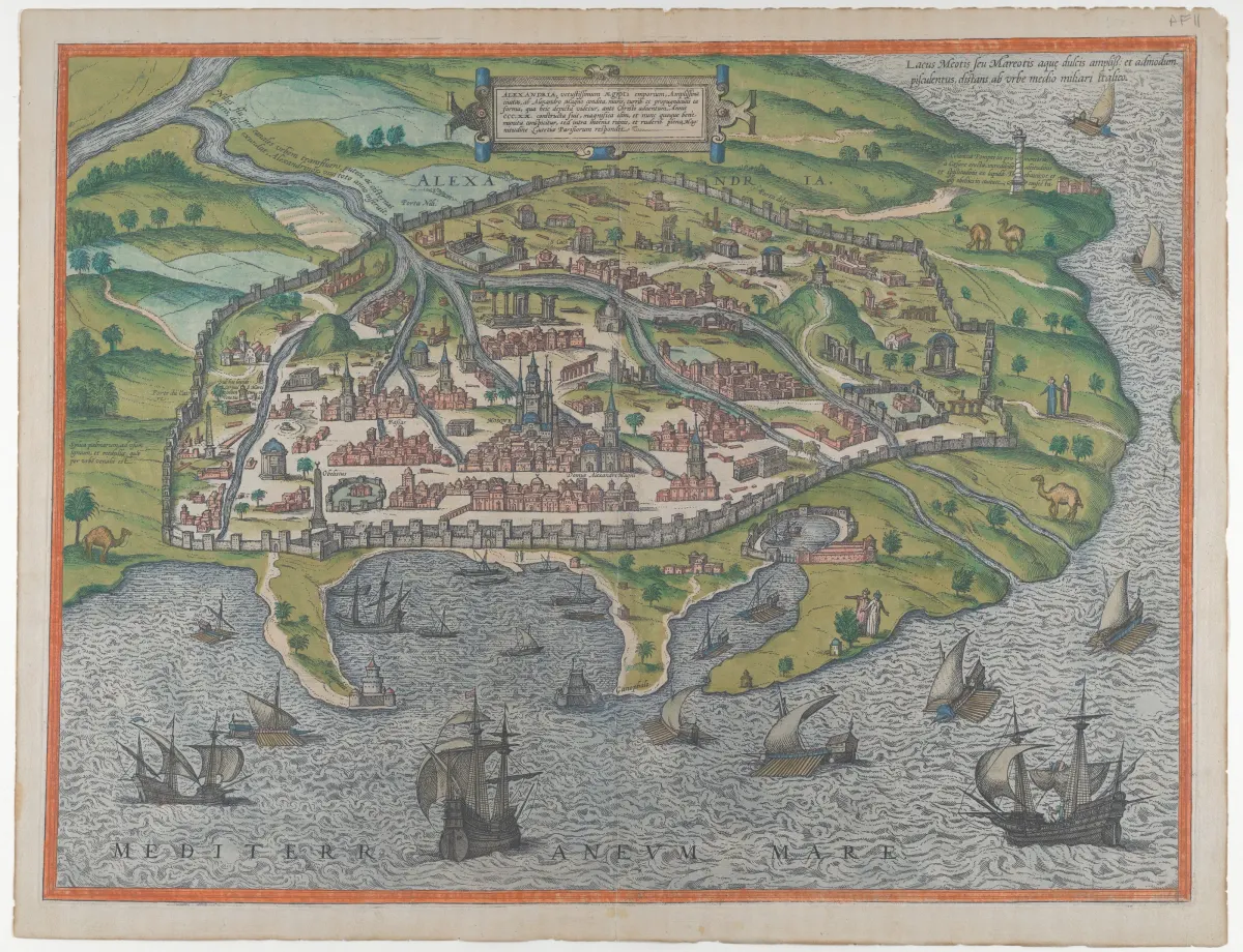
Old Plan of Alexandria
Vintage prints
Your puzzle is saved in this browser, ready for you to continue later.
About the picture
A colored historical plan shows Alexandria's city walls and ships near the coast.
Artist or photographer: Georg Braun / Frans Hogenberg
Tips for this puzzle
Follow the city walls and coastline first. Group the ships and printed labels separately from the denser city detail.
Image source
Wikimedia Commons · File:Map of Alexandria MET DP855367.jpg · CC0 1.0
View the source